North and the capital
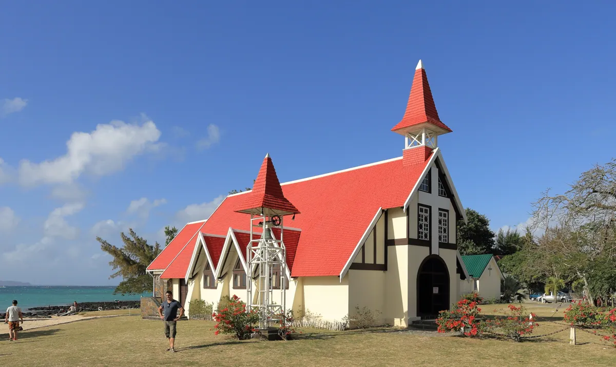
Grand Baie, Pereybère and Cap Malheureux form the northern coastal strip. Pamplemousses and Beau Plan sit inland, with Port Louis farther south. Start with the city if a market visit is a priority and check the traffic margin before fixing a hotel return.
West, southwest and the central plateau
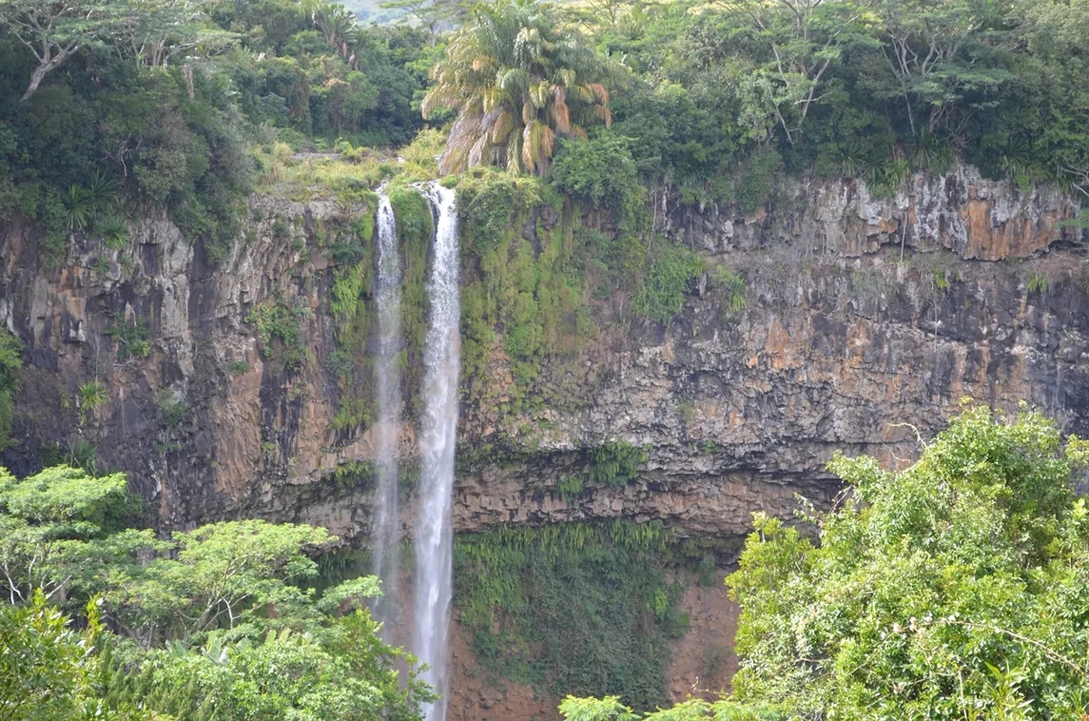
Flic en Flac and Tamarin lie on the west coast. Chamarel and the Gorges take you inland on winding roads. Grand Bassin and Bois Chéri sit in the highlands. Two points that look close on a map can require a longer drive through the hills.
East and southeast
Belle Mare, Flacq and Bras d’Eau make one practical cluster. Mahébourg, Ferney and Blue Bay form another around the southeast. Souillac and Gris Gris are farther along the southern coast, so keep that stretch for a separate day if time is tight.
Common questions
Which map should I send for a private pickup?
Send the pin at the vehicle entrance to the hotel, villa or terminal and the property’s written name. A pin on a beach, resort centre or walking trail can point a vehicle to the wrong road.
Can we tour the whole island in one day?
You can cover a region comfortably in a private day. A complete coastal circuit leaves limited time at individual sights. Choose two major visits and a short optional stop on the route between them.